Powered by .id (informed decisions) for Blacktown City Council
.id community is an evidence base for over 250 local government areas in Australia and New Zealand, helping you make informed decisions.
LEARN MORE ABOUT .idforecast.id is a comprehensive online demographic forecast which shows how the population will change between 2021 and 2046. It helps council staff and community organisations understand the likely outcomes of current population trends and council policies on the future population of the area.
forecast.id is designed to answer the questions:
Blacktown City Council forecast has been developed as a website linked to your Council website for ease of access by staff and the community, it can also be accessed directly at:
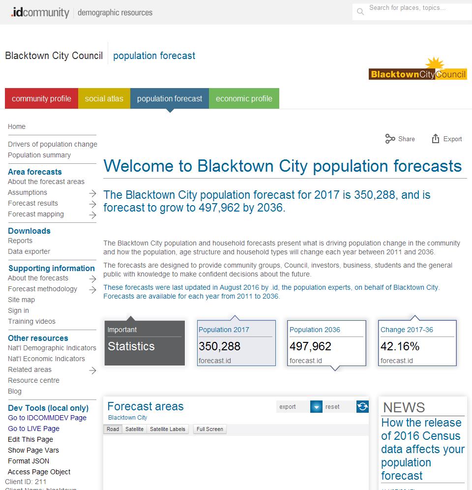
Information is presented in a variety of formats. These include charts showing changes over time, tables with detailed age data and interactive maps showing the spatial distribution of change over selectable time periods.
Blacktown City Council population forecast website is a public website containing detailed population, dwelling and household forecasts under the following menu structure:
|
About the forecast areas Assumptions
Forecast results
|
Forecast mapping
Reports Data exporter About the forecasts |
Forecast methodology
|
|
|
|
DISCLAIMER: While all due care has been taken to ensure that the content of this website is accurate and current, there may be errors or omissions in it and no legal responsibility is accepted for the information and opinions in this website.
Please view our Privacy Policy, Terms of use and Legal notices.
ABS Data and the copyright in the ABS Data remains the property of the Australian Bureau of Statistics. The copyright in the way .id has modified, transformed or reconfigured the ABS Data as published on this website remains the property of .id. ABS Data can be accessed from the Australian Bureau of Statistics at www.abs.gov.au. ABS data can be used under license - terms published on ABS website. intermediary.management@abs.gov.au if you have any queries or wish to distribute any ABS data.