City of BrimbankPopulation forecast
Skip to content

City of Brimbank Population Forecasts

What is forecast.id?

forecast.id is a comprehensive online demographic forecast which shows how the population will change between 2021 and 2041. It helps council staff and community organisations understand the likely outcomes of current population trends and council policies on the future population of the area.
forecast.id is designed to answer the questions:

  • How will our community change in the future?
  • What is driving these changes?
  • Where and when should we allocate resources to communities?

The City of Brimbank forecast has been developed as a website linked to your Council website for ease of access by staff and the community, it can also be accessed directly at:

forecast.id.com.au/brimbank

City of Brimbank

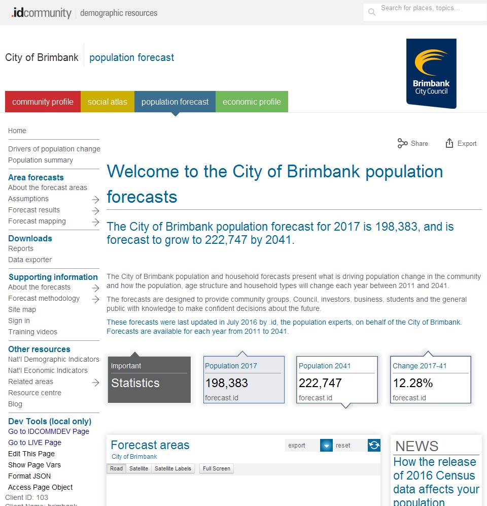
What does it look like?

Information is presented in a variety of formats. These include charts showing changes over time, tables with detailed age data and interactive maps showing the spatial distribution of change over selectable time periods.

What information is included?

City of Brimbank population forecast website is a public website containing detailed population, dwelling and household forecasts under the following menu structure:

About the forecast areas

Assumptions

  • Residential development
  • Net migration by age
  • Non-private dwellings

Forecast results

  • Population, households and dwellings
  • Components of population change
  • Population and age structure

Forecast mapping

  • Dwellings and development map
  • Population and age structure map

Reports

Data exporter

About the forecasts

Forecast methodology

  • Factors of population change
  • Household and suburbs life-cycles
  • Forecast modelling process
  • Notes on base data
  • FAQs
  • Glossary
  • References

For which geographic areas?

the City of Brimbank population forecast provides comprehensive data for the following geographic areas:
Small areas
  • Albanvale
  • Albion
  • Ardeer
  • Cairnlea
  • Deer Park
  • Delahey
  • Derrimut
  • Kealba
  • Keilor
  • Keilor Downs
  • Keilor Park & District
  • Kings Park
  • St Albans (North)
  • St Albans (South)
  • Sunshine
  • Sunshine North
  • Sunshine West
  • Sydenham - Hillside
  • St Albans
  • St Albans
  • Local Areas
  • Sydenham District
  • Keilor District
  • St Albans District
  • NEIC
  • Sunshine NEIC
  • How can I access City of Brimbank population forecast?

    The City of Brimbank forecast can be accessed via the City of Brimbank website or at:

    forecast.id.com.au/brimbank


    v20.11.10-1.0.0