Blacktown City CouncilPopulation forecast
Skip to content

Blacktown City Council Population Forecasts

What is forecast.id?

forecast.id is a comprehensive online demographic forecast which shows how the population will change between 2021 and 2041. It helps council staff and community organisations understand the likely outcomes of current population trends and council policies on the future population of the area.
forecast.id is designed to answer the questions:

  • How will our community change in the future?
  • What is driving these changes?
  • Where and when should we allocate resources to communities?

Blacktown City Council forecast has been developed as a website linked to your Council website for ease of access by staff and the community, it can also be accessed directly at:

forecast.id.com.au/blacktown

Blacktown City Council

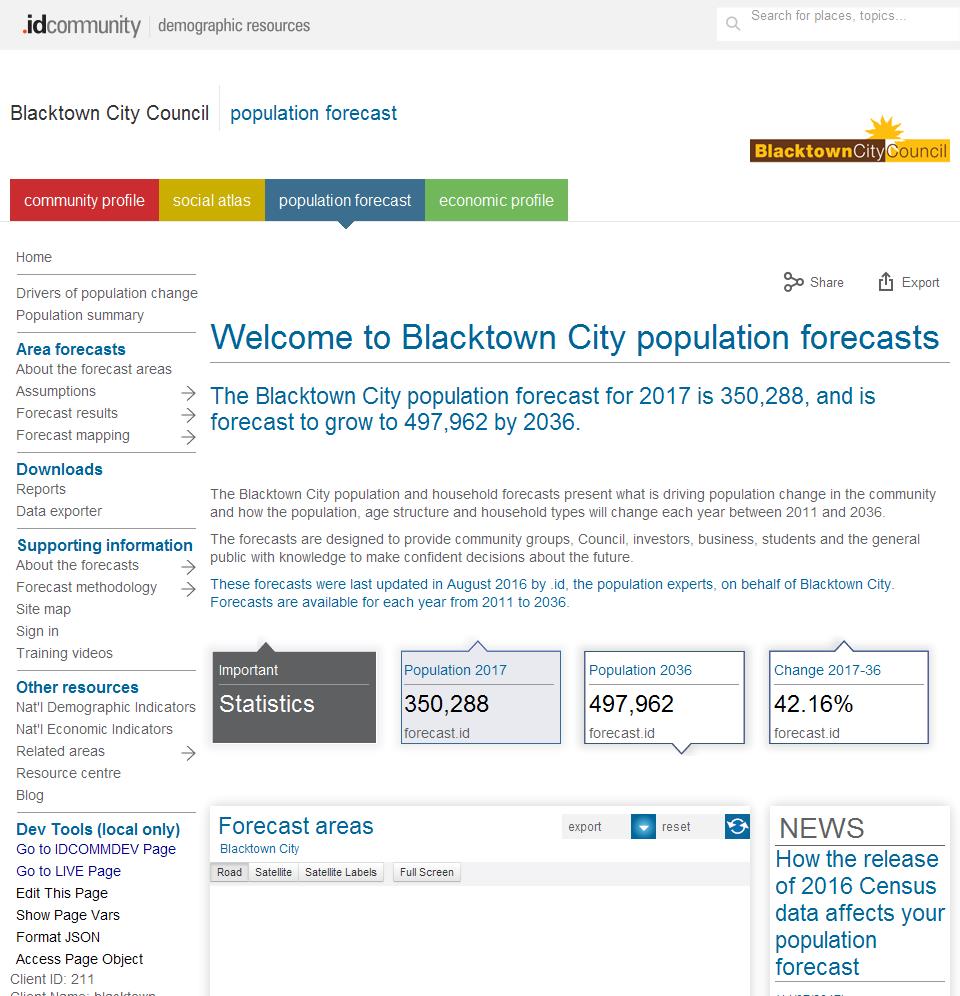
What does it look like?

Information is presented in a variety of formats. These include charts showing changes over time, tables with detailed age data and interactive maps showing the spatial distribution of change over selectable time periods.

What information is included?

Blacktown City Council population forecast website is a public website containing detailed population, dwelling and household forecasts under the following menu structure:

About the forecast areas

Assumptions

  • Residential development
  • Net migration by age
  • Non-private dwellings

Forecast results

  • Population, households and dwellings
  • Components of population change
  • Population and age structure

Forecast mapping

  • Dwellings and development map
  • Population and age structure map

Reports

Data exporter

About the forecasts

Forecast methodology

  • Factors of population change
  • Household and suburbs life-cycles
  • Forecast modelling process
  • Notes on base data
  • FAQs
  • Glossary
  • References

For which geographic areas?

Blacktown City Council population forecast provides comprehensive data for the following geographic areas:
Small areas
  • Acacia Gardens - Parklea
  • Angas - Richards - Vineyard West
  • Bidwill
  • Blackett
  • Blacktown
  • Bungarribee
  • Colebee
  • Dean Park
  • Dharruk
  • Doonside
  • Emerton
  • Glendenning
  • Glenwood
  • Hassall Grove
  • Hebersham
  • Kings Langley
  • Kings Park
  • Lalor Park
  • Lethbridge Park
  • Marayong
  • Marsden Park - Melonba - Shanes Park
  • Minchinbury
  • Mount Druitt
  • Oakhurst
  • Plumpton
  • Prospect - Huntingwood - Arndell Park
  • Quakers Hill
  • Riverstone - Grantham Farm - Vineyard East
  • Rooty Hill - Eastern Creek
  • Ropes Crossing
  • Schofields - Nirimba Fields
  • Seven Hills
  • Shalvey
  • Stanhope Gardens - Kellyville Ridge
  • Tallawong - Rouse Hill
  • The Ponds
  • Toongabbie
  • Tregear
  • Whalan
  • How can I access Blacktown City Council population forecast?

    Blacktown City Council forecast can be accessed via the Blacktown City Council website or at:

    forecast.id.com.au/blacktown


    v20.11.10-1.0.0